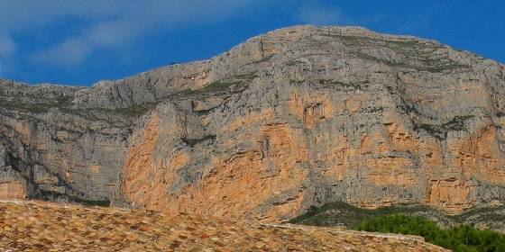


From camí Mitjans we will take the paved road that passes next to a water tank and, after 500 m, becomes an old forest track, at its end, at an altitude of 350 m, we will observe a beautiful landscape with the town of Jesús Pobre in the foreground.
From here, the road becomes a narrow mountain path to the settlement of Penya de l’Àguila s IV a I BC . It is considered the genesis of Dianium with its wall from the time of Sertorius, and its Tresor de la Marina.
Leaving Penya de l’Águila we find the crossroads with the orange route sign (Camino de la Colonia – Cima).
Continuing along the path that runs along the entire Montgó plateau, we will reach the sign where the diversion that takes us to the Creueta de Dénia is located.
If we continue along the main path we reach the vertex that indicates the top of the Montgó, at 753 m altitude, from where we can see the entire coastline and even, if the day is very clear, the islands of Ibiza and Mallorca.

Route Data