


ACCESSIBILITY: We go up the Camí de la Colònia and at the fork we turn right to the end of the Colònia path, the Racó de Bou. At this point, on the left, we find the path that climbs gently and steadily towards the flat area of the Montgó. In the final stretch of the ascent the path becomes steeper, increasing the slope.
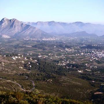
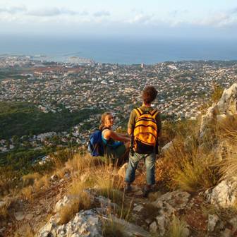
Arriving at the Montgó plain, the path runs between eroded stones with sharp edges (lapiaz carstic). Be careful not to trip or fall. The vegetation at this altitude is very homogeneous: low bushes dominated by white steppes, kermes oak and palmettos, which grow on the eroded rocks. Walking 1,200 meters along the flat, we will find on our left an area marked with stones that indicates the detour to the Creueta de Dénia. We will walk about 100 meters over a steep area, where the path gets lost, although there is an area more marked by the passage of hikers. Once we have passed a small hill we will see the cross, the end of our route at 694 meters above sea level.

Route Data